Blog
-
 July, 2021
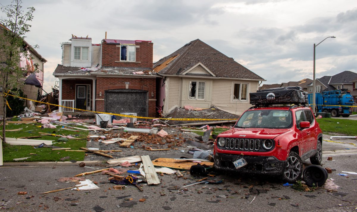
Hurricane straps keep roofs on ...
On July 15, a tornado struck Barrie, Ont., destroying several homes: Could anything have been done to minimize the damage in Barrie?
READ MORE -
July, 2021
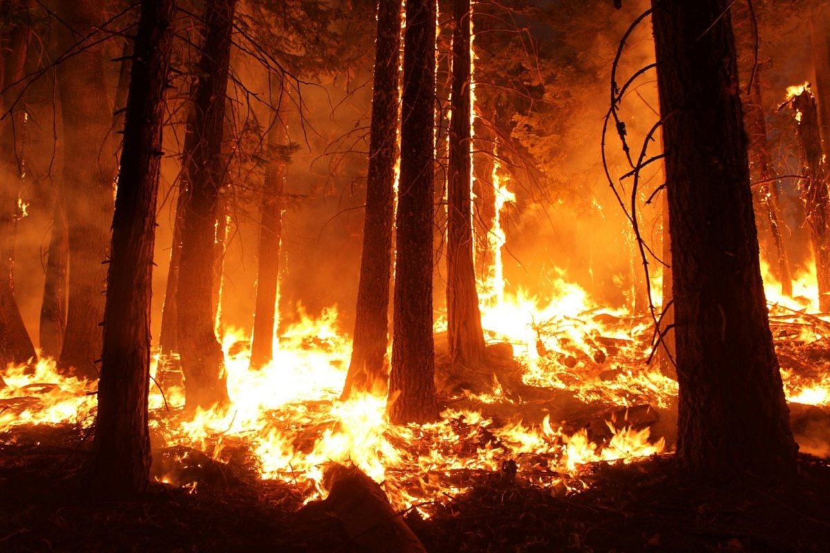
We can’t predict the next wil...
Intense, fast-spreading fires are an enduring and natural feature of Canadian landscapes, but for most of the past 40 years, relatively few residents were evacuated each year. Yet, in the past 10 years, an unprecedented number of homes have burned in Alberta and British Columbia.
READ MORE -
May, 2021
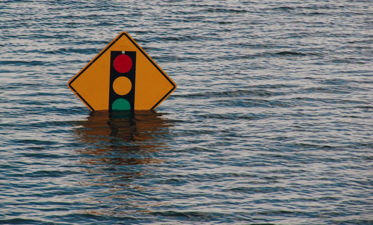
Risk Perception Floods the Risk...
Your perceived risk of a threat can be very different from the actual risk of that threat. That we would sooner set foot in a car than a body of water home to the occasional shark is a case-in-point of our fundamentally flawed sense of risk perception.
READ MORE -
February, 2021
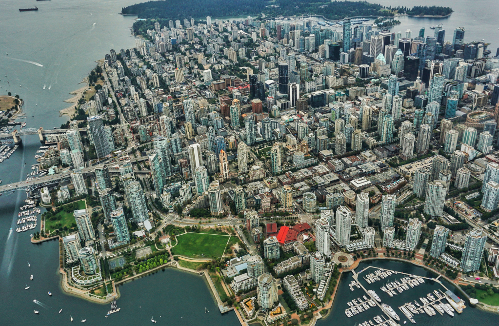
Why it matters that British Col...
The Pacific Northwest is a region that is both blessed with staggering natural beauty and cursed with extreme risk from powerful earthquakes.
READ MORE -
November, 2020
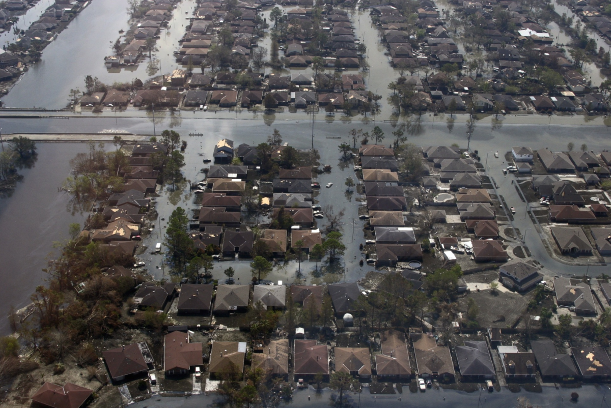
Flooded with new exposure
This article was first published in the Canadian Underwriter Dec 2019 Magazine where Canadian Underwriter interviewed Laura Twidle, Managing…
READ MORE -
December, 2018
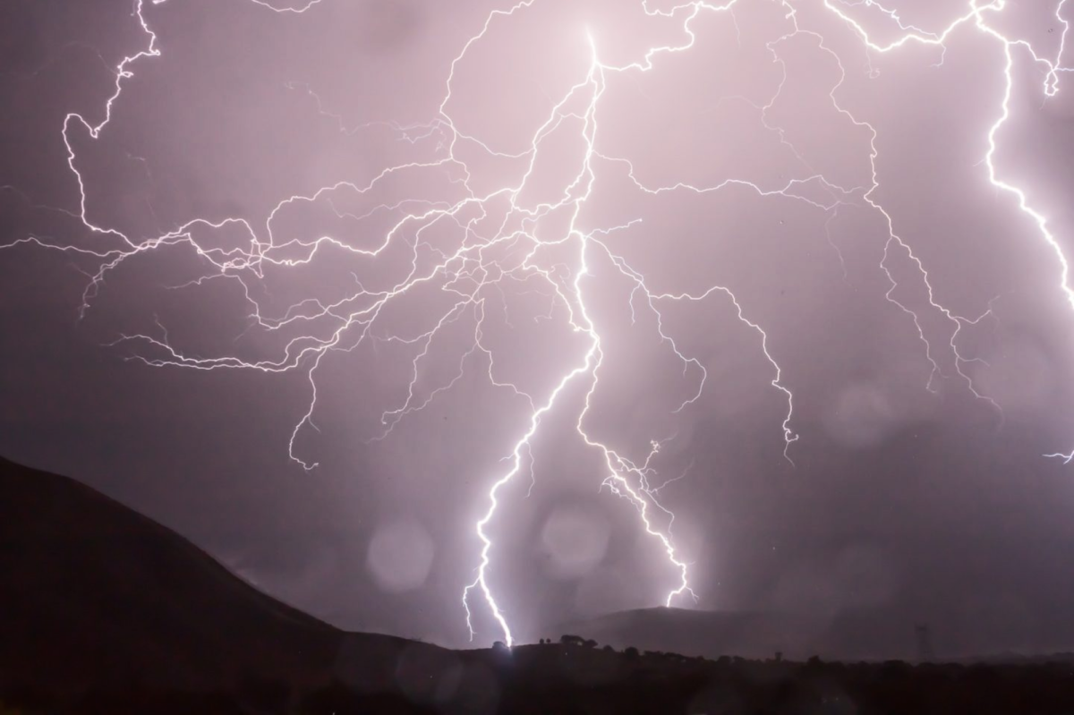
Climate change and extreme weather
Increasingly, the climate change debate is part of the dialogue surrounding catastrophic weather events, including floods, fires and severe weather impacting…
READ MORE